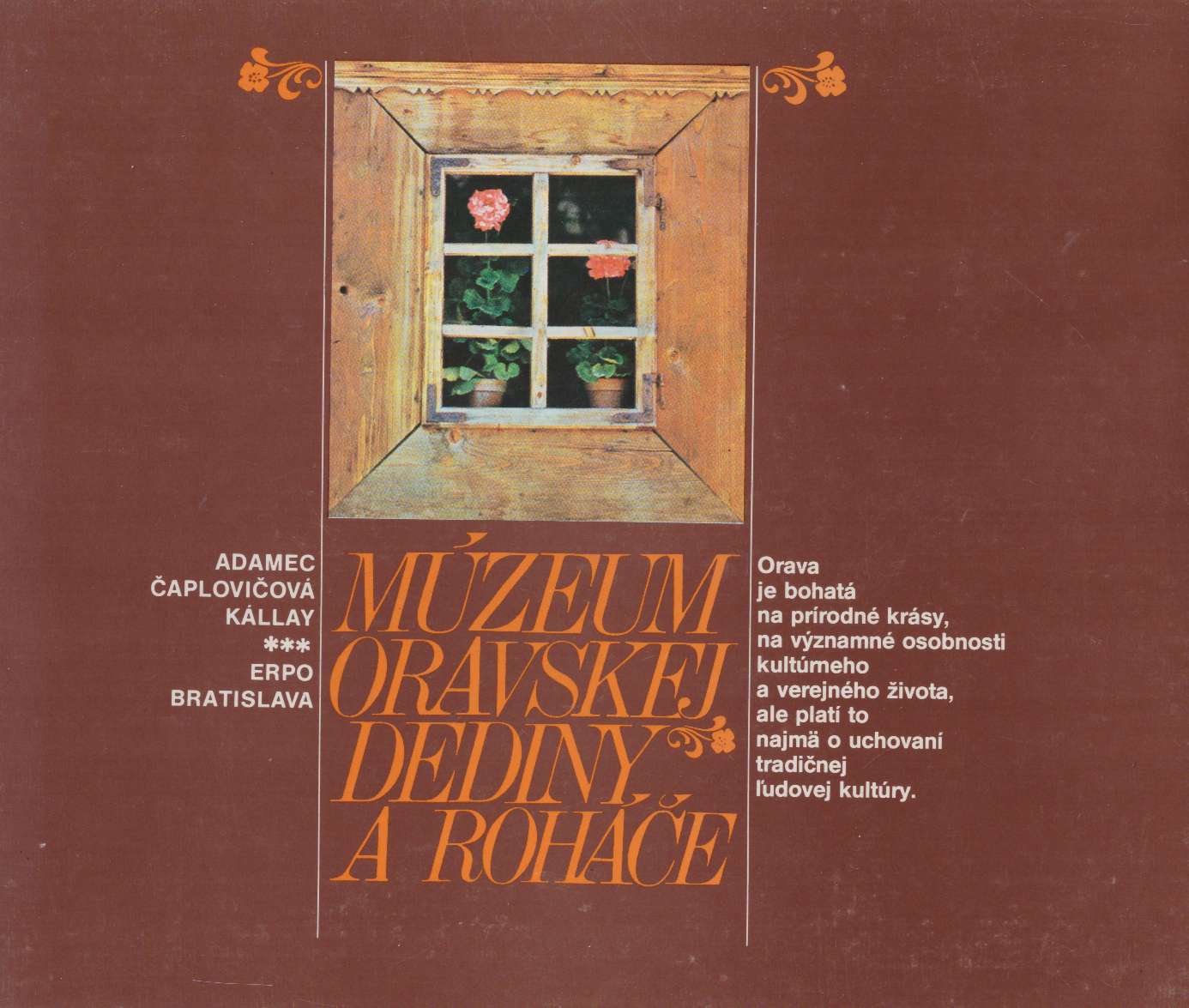
A guide to the High Tatras. 30 Maps of Tatra Valleys with Marked Tourist Paths. Ski Grounds. 10 Drawings of Climbing Routes. Tours in the Surroundings, Maps, Information, Services.

Bratislava 1969. Sport. wyd.1. s.230. liczne il. (wielobarwne, schematyczne mapy oraz doskonałe, unikalne fotografie). mapy pod opaską. opr. ppł. oryg. 17 cm.

Autorem ilustracji oraz świetnych, choć schematycznych, map, jest niezrównany grafik Arno Puškaš.

Fotografie tatrzańskich wierzchołków i ścian (z wkreślonymi drogami): Luboš Brchel, Vladimir Koštial, Stanislav Samuhel.

39.90 

1 w magazynie

Kategoria:

Opis

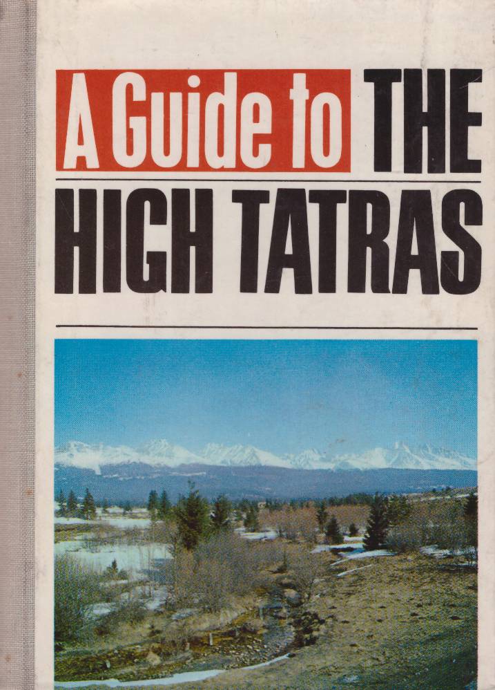
ADAMEC Vladimir Roubal Radek Pacl Juraj Puškaš Arno, A guide to the High Tatras. 30 Maps of Tatra Valleys with Marked Tourist Paths. Ski Grounds. 10 Drawings of Climbing Routes. Tours in the Surroundings, Maps, Information, Services. Bratislava 1969. Sport. wyd.1. s.230. liczne il. (wielobarwne, schematyczne mapy oraz doskonałe, unikalne fotografie). mapy pod opaską. opr. ppł. oryg. 17 cm.

Autorem ilustracji oraz świetnych, choć schematycznych, map, jest niezrównany grafik Arno Puškaš.

Fotografie tatrzańskich wierzchołków i ścian (z wkreślonymi drogami): Luboš Brchel, Vladimir Koštial, Stanislav Samuhel.

Informacje dodatkowe

Rok

1969

Autor

ADAMEC Vladimir, Juraj Pacl, Puškaš Arno, ROUBAL Radek

Obszar

Karpaty, Tatry, Turystyka górska